Victoria is a beautiful place and walking or driving around can certainly give you a flavor of the city. But sometimes it’s nice to get up high and get a larger view! Here’s some spots that I love:
- Mt. Tolmie – Elevation 120 metres
- Mt. Doug – Elevation 225 metres
- Mt. Finlayson – Elevation 419 metres
- Gonzales Hill – Elevation 66 metres
- Mt. Newton – Elevation 305 metres
- Ok … I couldn’t stop at 5. This one is too good! Observatory Hill at the Dominion Astrophysical Observatory.
Some of these you can drive right up to – some require a hike. Here’s a description:
Mt. Tolmie
A paved road winds upward from Cedar Hill Cross Rd. and Richmond Road to a parking area at the 120 metre summit of Mount Tolmie and one of the best – and breeziest – views of the city. Trails meander through the Garry oaks and arbutus meadows around the summit. Wildflower viewing in the spring and blackberry picking in the late summer.
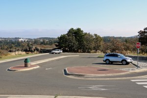
Mt. Tolmie Parking lot
There are several picnic areas available – some are wheelchair friendly – click HERE for overview of these areas.
There are no restroom facilities on Mt. Tolmie.
Click HERE for more information on Mt. Tolmie.
Mt. Doug
This is the largest park in the Saanich area, and it offers a spectacular 360-degree view of the area around Victoria, including east to Haro Strait, north and west through Saanich, and south towards downtown Victoria.
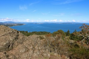
View from Mt. Doug
Mount Douglas has a network of trails along its slopes. Many people park at the bottom and walk up the paved road to the top. You can also drive to the small parking lot at the top of the mountain along Churchill Drive and park there before taking a short walk to one of the two peaks to enjoy the view.
**It is a VERY small parking lot – only room for about 11 – 12 cars. Do NOT attempt to drive an RV up as it would be impossible to park and difficult if not impossible to turn around.**
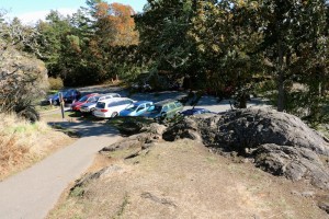
Mt. Doug Parking lot
There are no restroom facilities on Mt. Doug.
Click HERE for more information about Mt. Doug.
Mt. Finlayson
Access #1: This is the most used way up to Mt. Finlayson, but does require a quite a steep climb. It is NOT wheelchair accessible and it can be quite strenuous – although there’s no actual ‘rock climbing’ involved it is fairly exposed in places. I strongly suggest you take water, wear sturdy shoes and – unless they’re accustomed to working hard – I would hesitate to take children (although we saw lots up there yesterday!). Fairly fit pets would be ok. Wear appropriate clothing as it can be VERY HOT in summer and cool (cold) in the fall and winter.
Park at the general parking lot at Goldstream Park.
The trailhead begins along the paved road across the bridge from where you parked. Walk over the bridge and about 200-meters down the road and on your right, watch for a trail with a large wooden map board of the area. Follow the trail past the map and, just before the stairs, go left. The trail climbs immediately but follows a smooth, dirt path as you pas through the forest. Walk up a few steps and follow the trail as it veers left and meets a junction with a trail to the right.
The trail is fairly clearly marked but pay attention as you can wander off easily. Once at the top – it’s a magnificent view looking south towards the Langford area and down to the Bear Mountain Golf Resort – and east to the ocean and downtown Victoria!
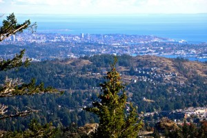
View from Mt. Finlayson
Access #2. This route is the easier of the two, but it’s still steep in places – you are climbing a mountain after all! Parking is on Finlayson Arm Road … keep driving up the road you turned on to go to Goldstream park. It’s not super clearly marked, but there’s usually other cars parked there so look for them.
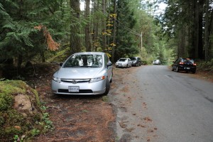
Parking on Finlayson Arm Rd for hike to Mt. Finlayson
Trail is clearly marked and easy to follow and is about 2.2kms to the top. Lots of the trail is large rocks/boulders so sometimes it feels like you’re climbing on a creek bed.
Again: take water, wear sturdy shoes and prepare for changing weather conditions. It can be quite windy and cold even when it’s sunny out in the fall and VERY hot in the summer months. Walking poles help as well!
There is no restroom facilities on Mt. Finlayson.
Click HERE for more information on Mt. Finlayson.
Gonzales Hill
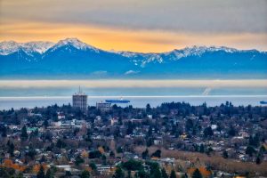
If that all sounds like way too much work, this is an easy one! Drive up to the top and park in the small parking lot. Take the (short) path past the old observatory and get ready to have your breath taken away! This small park features unparalleled views of Victoria, Juan de Fuca Strait, the Olympic mountains and the Sooke Hills from the highest point of land (66m) on the south coast of Vancouver Island, and rocky knolls from which to appreciate them. It is also habitat for California quail, rare wildflowers and a stand of Garry oak trees. Gonzales Observatory, a weather station for 75 years and now a heritage building perches at the top of the hill.
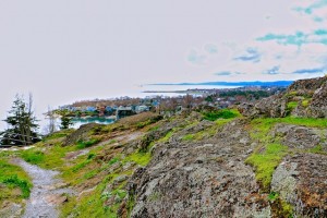
View from Gonzales Hill
Click HERE for more information on Gonzales Hill.
Mt. Newton
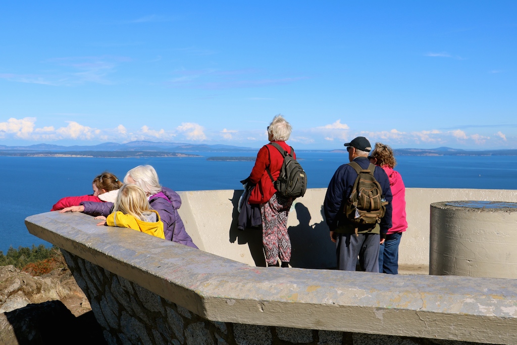
Located in John Dean Provincial Park – it overlooks the pastoral Saanich Peninsula, the Gulf Islands and the Cascade Mountains. John Dean Park protects one of the last stands of old-growth Douglas fir and Garry oak on the Saanich Peninsula, and is a popular destination for local residents, who visit the park to hike in a pristine wilderness environment and enjoy the spectacular views.
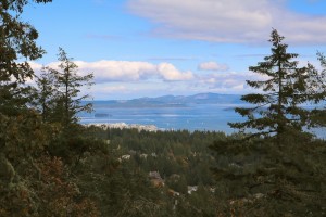
View from Mt. Newton
Drive up to the small parking lot and follow the signs to the summit. Not a long hike, possibly 1/2 hour or so, but still some steep sections to navigate.
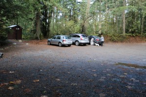
Mt. Newton Parking lot, Victoria BC
Click HERE for more information on Mt. Newton.
Observatory Hill
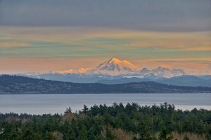
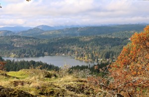
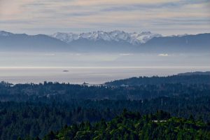
Even tho the observatory is closed to the public, you can still go up to the top and take in the amazing views of Victoria, Prospect Lake, Elk Lake – and beyond to the ocean!
The observatory is located at 5071 West Saanich Road … there is a sign at the bottom of the hill for the National Research Council (doesn’t actually say ‘observatory’). There is a small parking area just in front of the gates which (I believe) are open during ‘office house’ on weekdays but are closed on the weekends.
If the gates are open, you can drive up to the top and park at one of the several parking areas. If the gates are closed, either walk through the small opening to the left and walk up the road to the top (long and winding and of course up-hill but not too bad … takes about 20 – 30 minutes) or look across from the parking lot at the bottom to see a hiking path up the hill. This path is more direct but is much steeper and rocky in places. Certainly do-able … I’m almost 65 and had no problems but still – take it at your own risk.
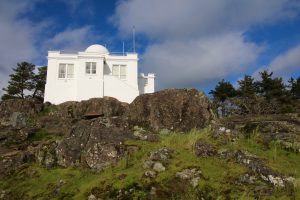
Once at the top you can wander around the observatory which is a National Heritage Site and look at the other buildings that are there. There used to be a planetarium (very small but cool!) called The Centre of the Universe, but it closed in 2013 due to lack of funding.
The views from the top are amazing! Not many locals even know about this! Enjoy!
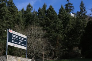
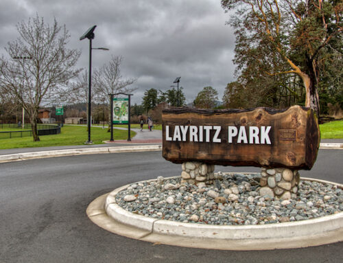
Sign at entrance
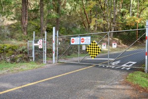
Gates at bottom of hill at parking lot
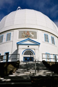
The observatory building
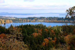
View of Elk Lake and ocean from Observatory Hill
Leave A Comment