Hiking Mill Hill
Mill Hill Regional Park is an isolated gem located in Langford just off Atkins Ave. The park encompasses 60 hectares with loop trail up and around the south side of the hill. There is also a trail that leads across the summit and down the north side which you can use to link up with Thetis Lake Regional Park. While Mill Hill is not by any means the tallest peak in the region, the 360 degree views from the top are some of the best in the region!
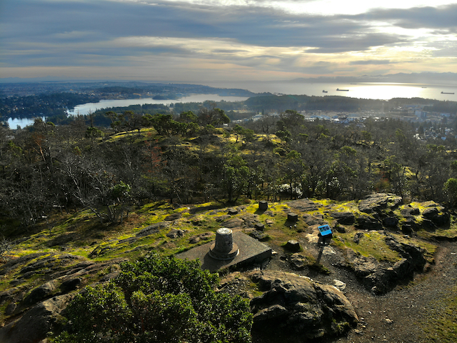
Aerial view of the summit looking towards the Gorge & Esquimalt Harbour
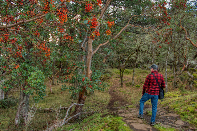
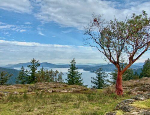
Arbutus trees along the trail section leading to Thetis Lake Park
The 3.1 km (1.9 mi) hike to the 203 meter (666 ft) summit starts at the parking area on the lower slopes of Mill Hill. The trail climbs up through forested dominated by Douglas fir, but you will find grand fir, big leaf maple, red alder and western red cedar. Other coastal rain forest plants like sword fern, salal and Oregon grape also line the trails. As you climb to the summit the Douglas fir forest gives way to groves of Garry oak and arbutus. In the spring you will find lots of wild flowers in these upper meadows including camas, shooting stars, foam flower, fawn lilys, sea blush and more.

The Auburn Trail passing through Gary Oak ecosystem
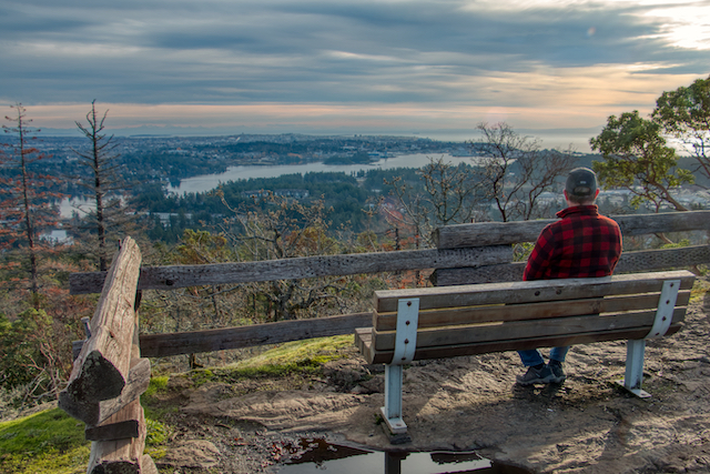
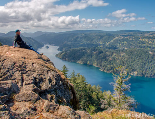
At the summit you will find 360 degree views overlooking Esquimalt Harbour and Victoria to the east, Langford and the Sooke Foothills to the west, Juan de Fuca Straight and the mountains of the Olympic Peninsula to the south, Mt Finlayson, the Gowlland Tod Range and Mt Work to the northwest, the Dominion Observatory and Coastal Mountains to the north and on clear days, Mt Baker to the northeast. You will also find the Capital Region District’s Regional Parks 35th Anniversary peak-finder cairn, which is mounted on the foundation of an old Forest Service fire lookout tower. It will help you identify the various points of interest.
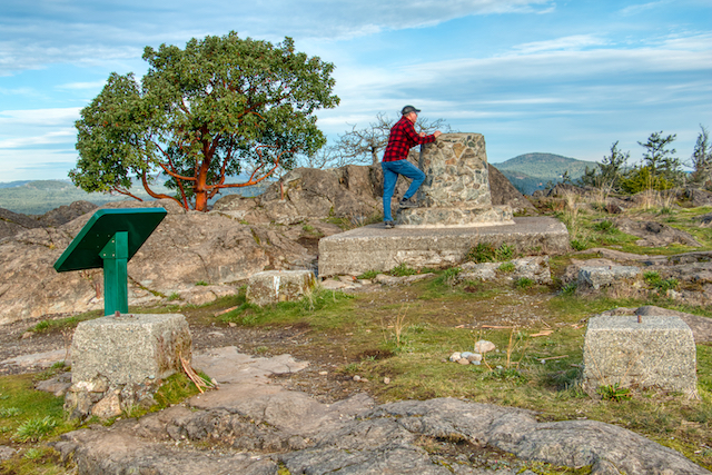
The CRD’s Regional Parks 35th Anniversary peak-finder cairn at the summit
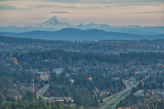
Looking Northeast towards Mt Baker
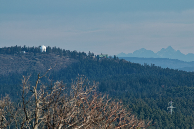
Looking north at the Dominion Astrophysical Observatory and coast mountains
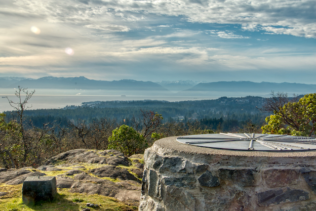
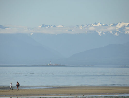
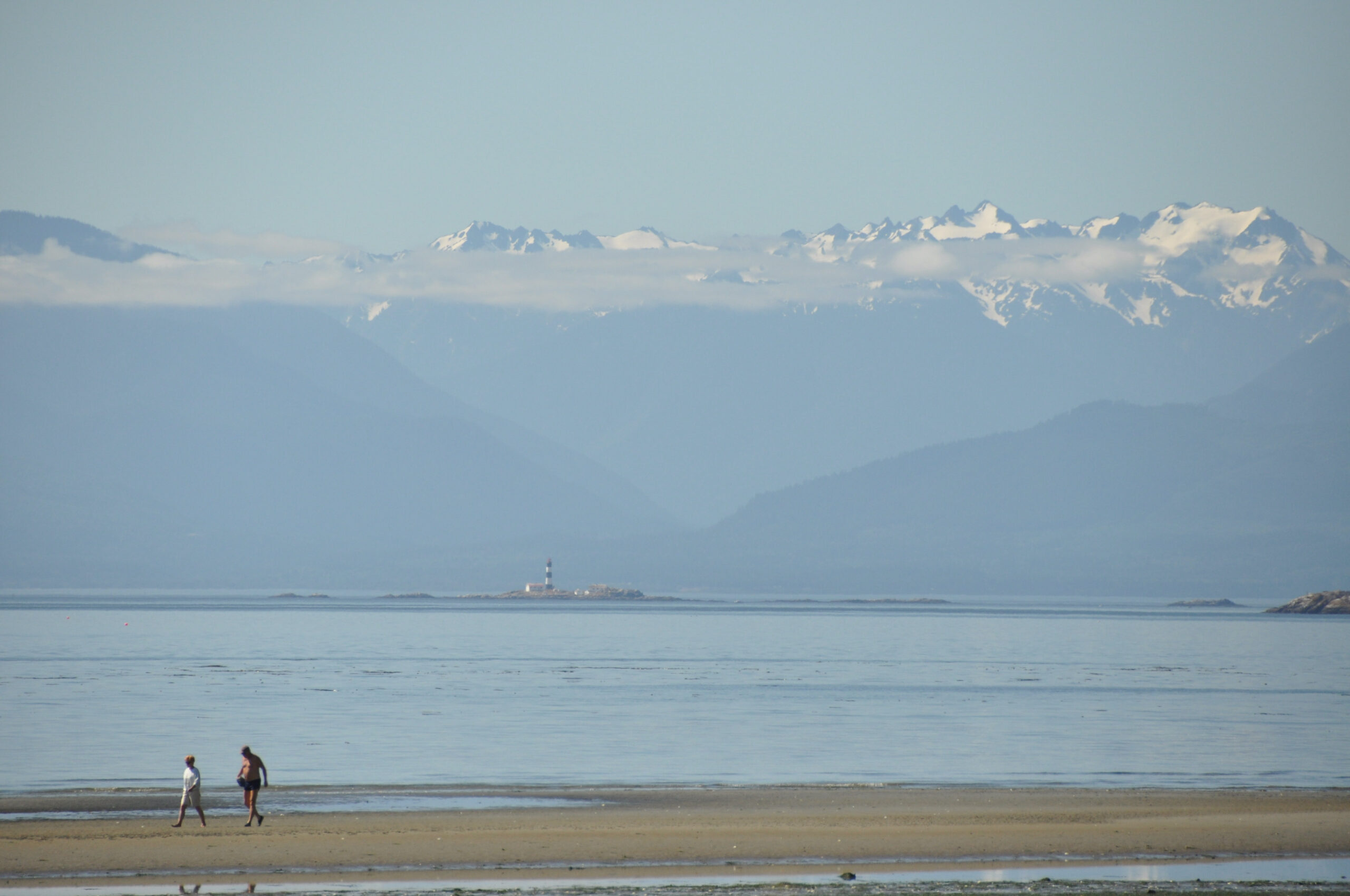
Looking at Juan de Fuca Strait & the Olympic Mountains across the peak finder cairn
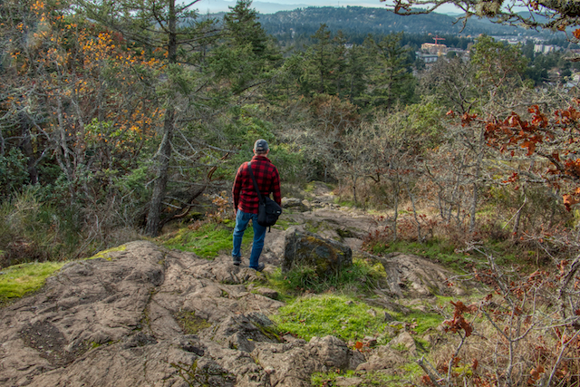
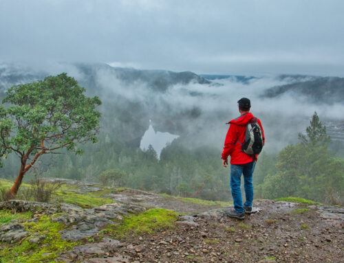
The Auburn trail is the easiest way to the summit with the best trail, although there are still some relatively steep sections, so be prepared. You can choose to come down the same path or take the Calypso Trail down. The Calypso trail is a lot more rugged with a few sections composed of exposed rock and there are a couple of very steep sections. The Calypso trail takes you down the southwest side of the mountain and around the west side of the CRD facility. In the summer months be on the look out for the trails namesake flower, the Calypso Orchid.
A rugged section of the Calypso Trail
Park Amenities
There is an information kiosk, accessible grassy picnic area, a bike rack and accessible toilets near the parking lot.
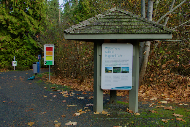
Kiosk at the parking area
Millstream Creek
There is a small waterfall on Millstream Creek near the entrance to the CRD Facilities Site which is quite pretty. On the other side of the road there is a small extension to the park where you can walk down and see where the water pours out from the large culvert under Atkins Rd. They have recently built a fish ladder to help returning salmon get around this waterfall.
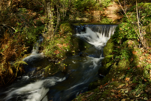
Millstream Creek
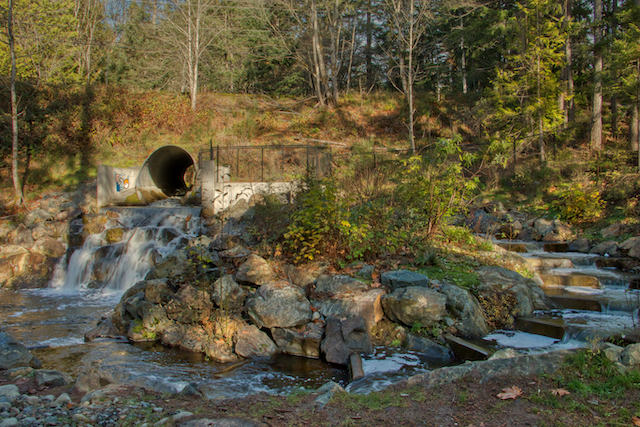
Fish ladder on the south side of Atkins Rd
Park Map
Click the link to view or download a CRD park map
Leave A Comment