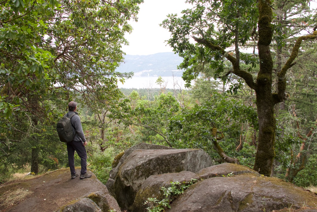
ȽÁU, WELṈEW̱/John Dean Park is situated on top of Mount Newton, which overlooks the pastoral Saanich Peninsula, the Gulf Islands and the Cascade Mountains.
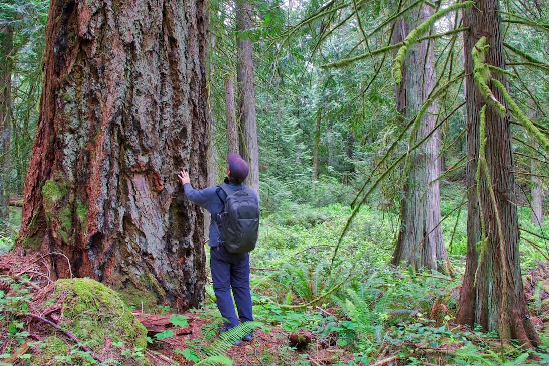
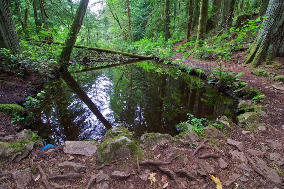
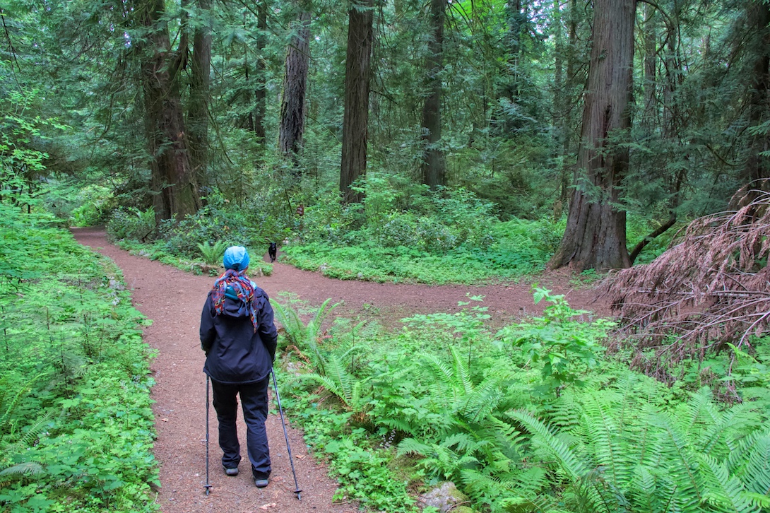
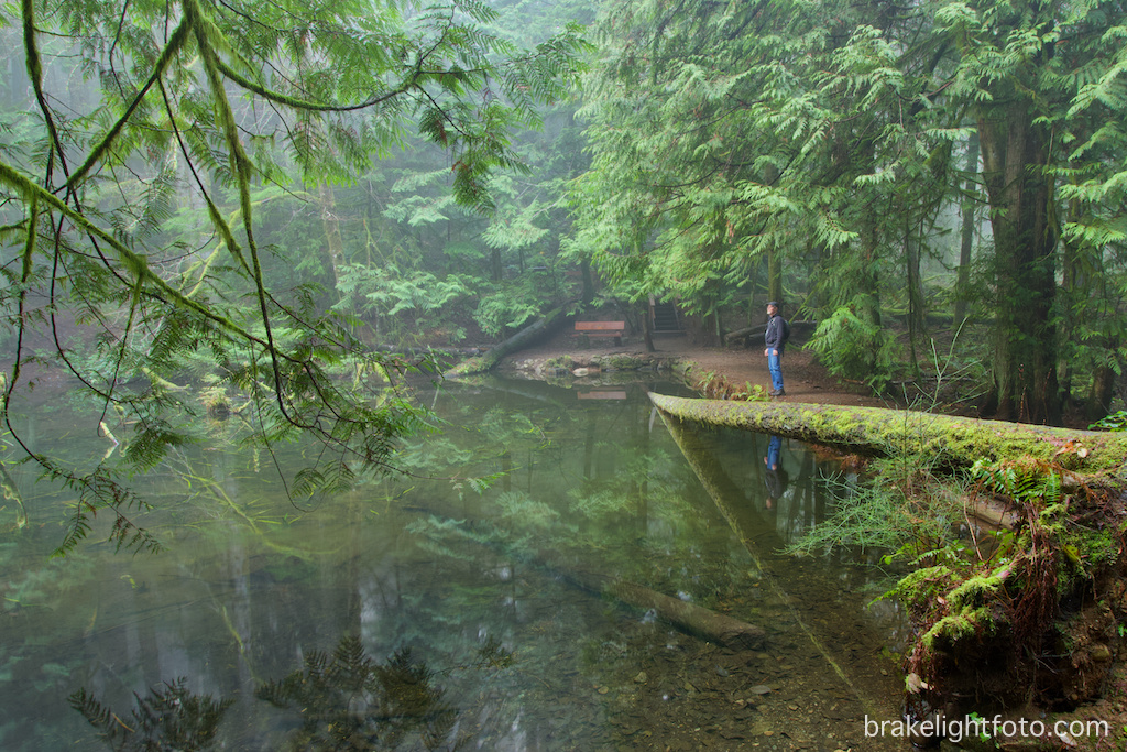
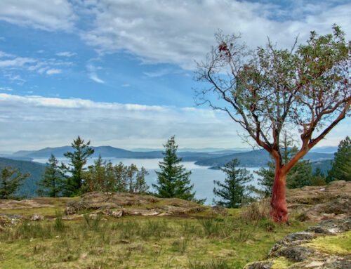
John Dean Provincial Park is the only place left on the Saancih Peninsula where you can still walk through virgin stands of old-growth Douglas Fir forests and untouched Garry Oak meadows. You can hike out onto dry rocky outcrops under the red, orange and chartreuse branches of twisted Arbutus trees and enjoy stunning views of both sides of the Saanich Peninsula This spectacular piece of pristine wilderness is just 30 minutes from downtown Victoria and encompasses 174 hectares, with over 6 kms of well-maintained trails winding through majestic rain forests, peaceful Gary Oak meadows. A visit to this spectacular provincial park is a memorable experience whether you are inclined for an easy stroll or a strenuous hike.
The History
To the W̱SÁNEĆ First Nations people, the top of the mountain is known as ȽÁU, WELṈEW̱, (pronounced tlay will nook and translates to Place of Refuge/Escape/Healing). It was the high land that enabled them to survive the Great Flood. Here legend has it that the Saanich ancestors were able to anchor their canoe until the floodwaters subsided using a giant western red cedar rope attached to a tall Arbutus tree on the summit. ȽÁU, WELṈEW̱ was the first land available as the floodwaters receded. ȽÁU, WELṈEW̱ was added to the park name in May 2019.
John Dean Park became a provincial park in 1921 with the donation of 80 acres of land by John Dean. In subsequent years, the park size was increased with land donations from Abraham Collins, Barret Montfort, Sidney Pickles, Ruth Woodward plus some Crown land. As you explore the park, you will find these names identifying trails and various points of interest within the park.
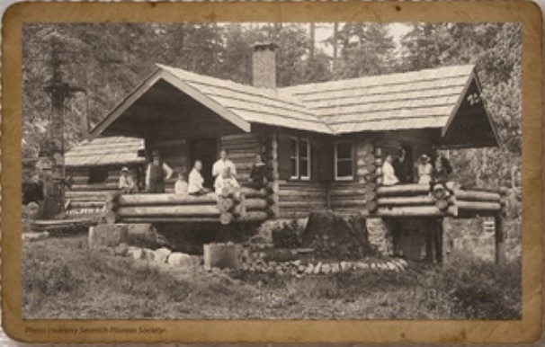
John Dean was born in Cheshire, England in 1850 and immigrated to Victoria, BC in 1884. He was a contractor, civic leader, realtor, and world traveller. In 1895, he purchased 100 acres of land on Mount Newton and in1909 he built a log cabin, which he called Illahie. Dean used the cabin until 1939. His remaining land, 20 acres, was added to the park after his death in 1943. The cabin was razed in 1957 after it was declared unstable, but the site where it was located can still be seen and is marked with a informational placard and sign along the Illahie Trail.
Hiking
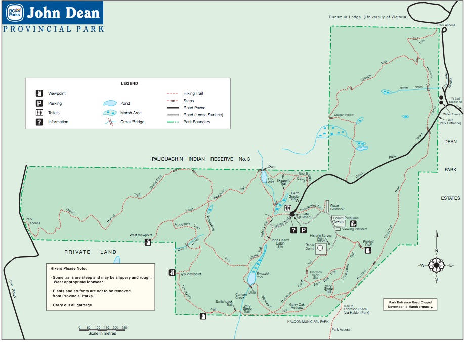
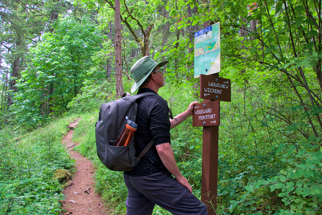
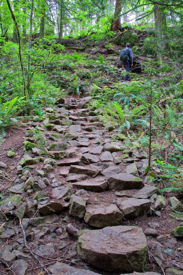
There are some easy trails in park, but many of the other trails have some very steep sections including stairs, steep rocky sections and switchbacks. The trials are well maintained and are well marked at intersections with signs and maps. A great resource for the park is the website Friends of John Dean Park. They have an excellent downloadable map section with a description of some of the most popular hikes’s, including the duration and degree of difficulty. For maps click this link: Downloadable Maps
View Points
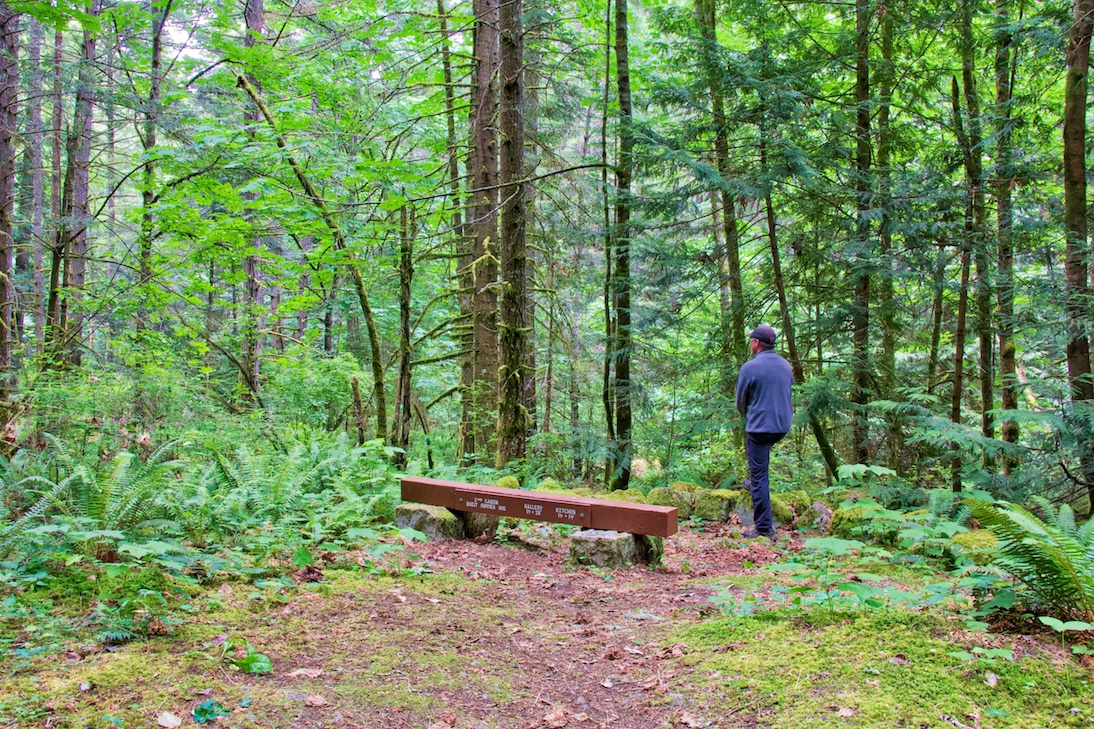
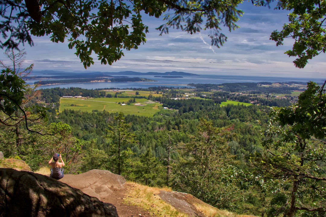
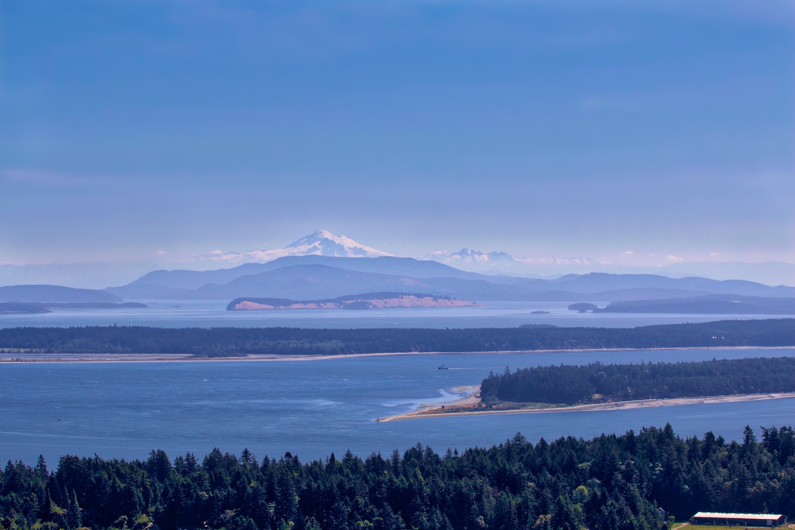
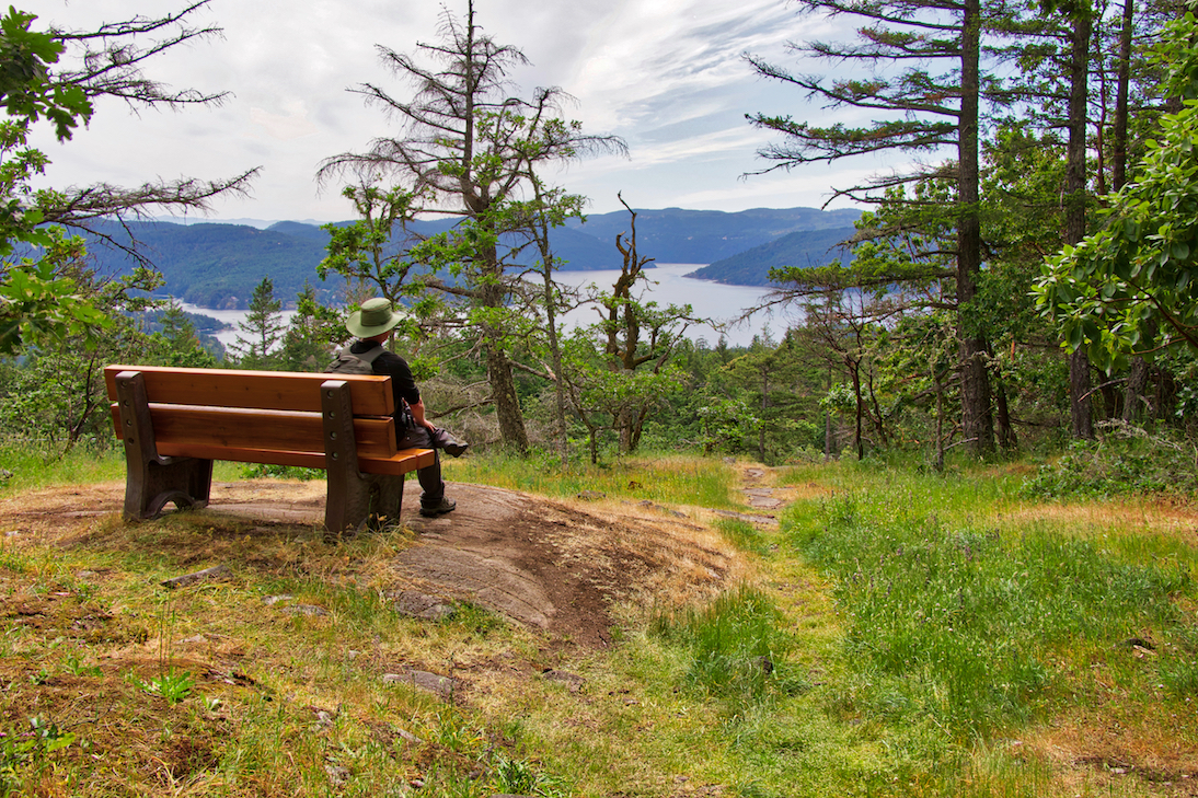
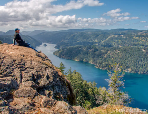
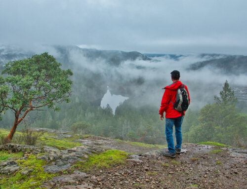
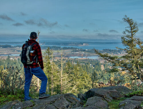
There are some amazing views from on top of Mount Newton. Most notable is Pickles’ bluff which offers incredible views of the Saanich Peninsula, the Gulf Islands and, on clear days, the Cascade Mountains in Washington state, including Mount Baker. On the other side of the mountain there is notable spots on the Surveyors trail with a park bench that offers views of the Saanich Inlet and Brentwood Bay and there is the West Viewpoint off of the West Viewpoint Trail where you can look out over the Saanich Inlet and Bamberton on the Malahat. The highest point you can reach is the Abraham Collins Lookout platform up by the communications tower, although the views from here are largely obstructed by trees, but you can look to the north and see the mainland coast mountains.
Nature & Wildlife
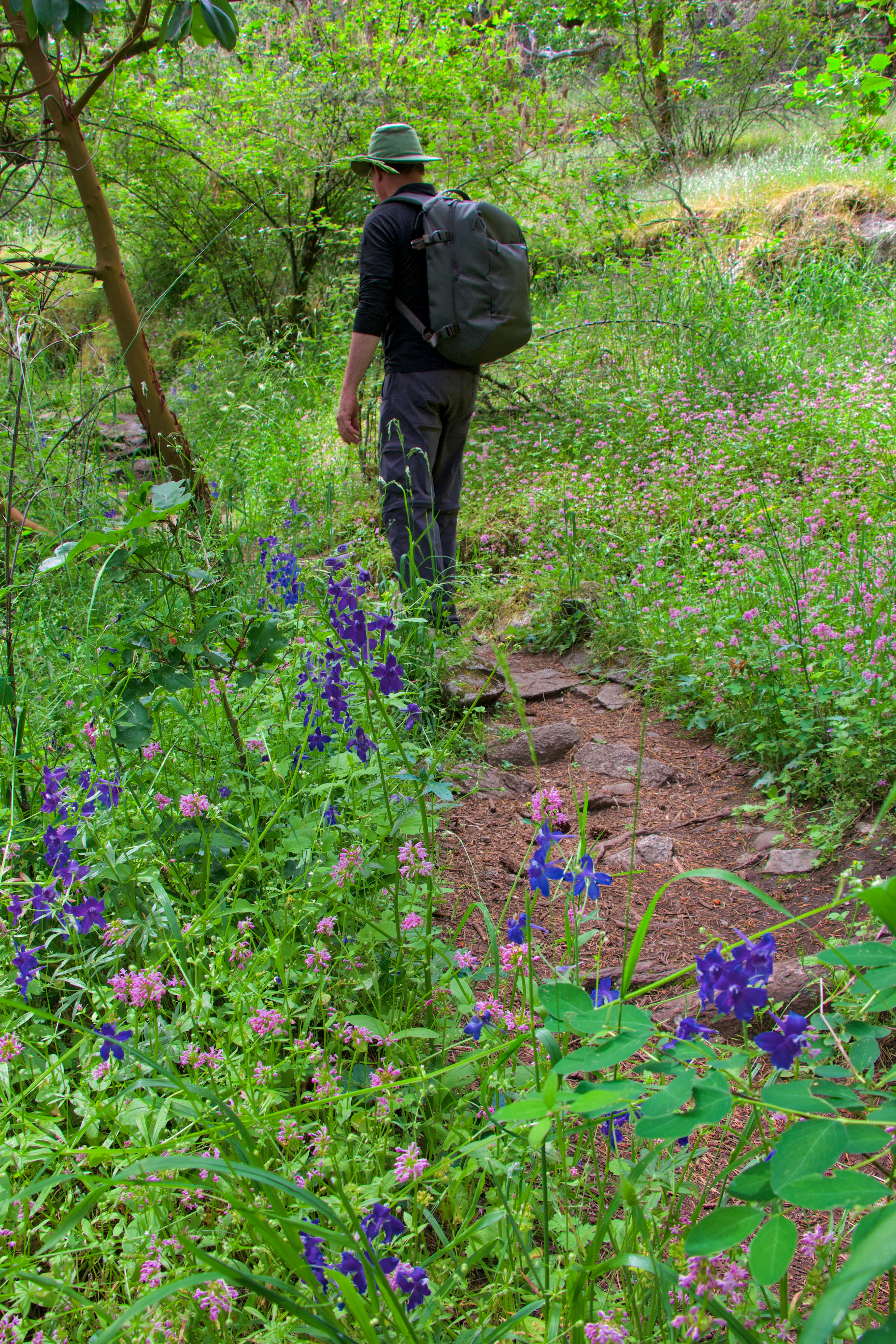
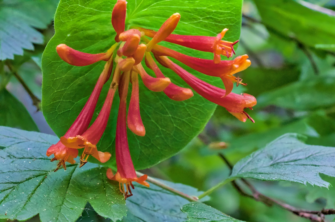
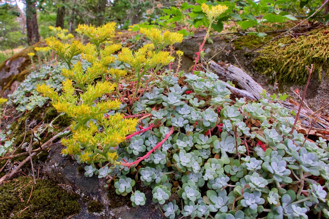
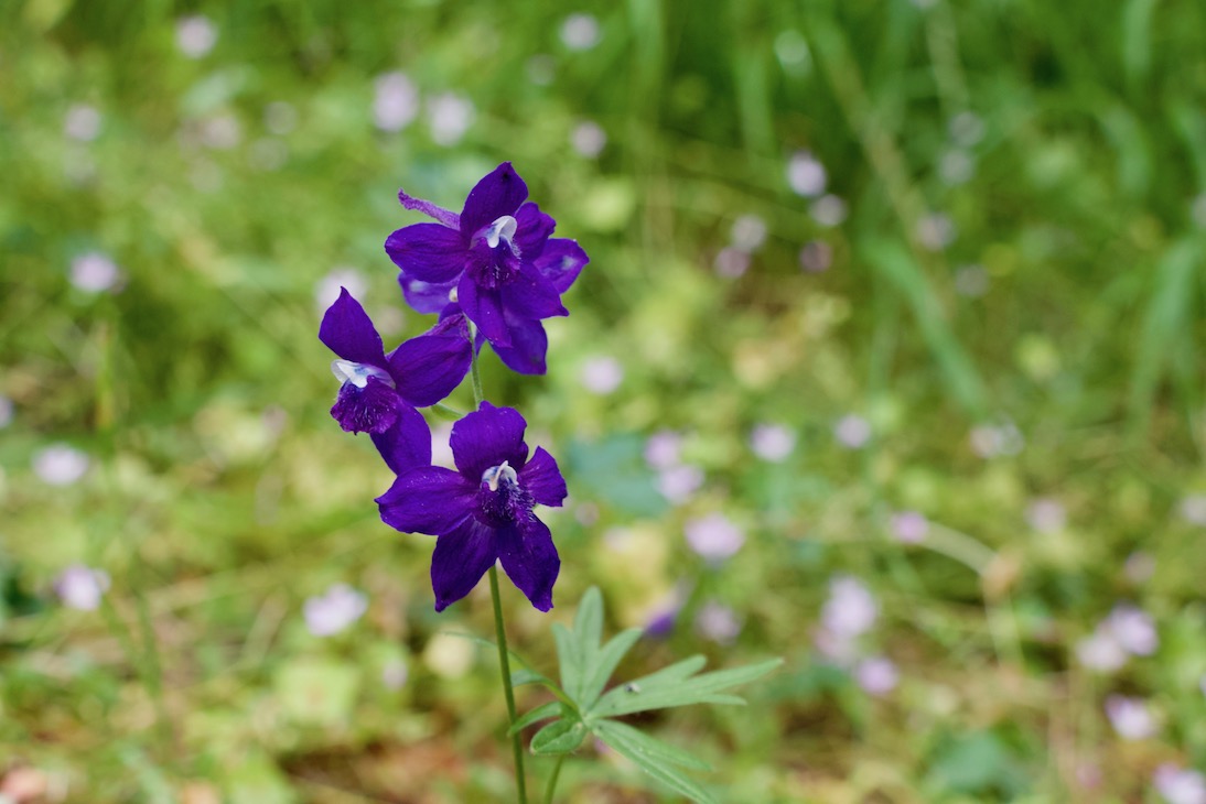
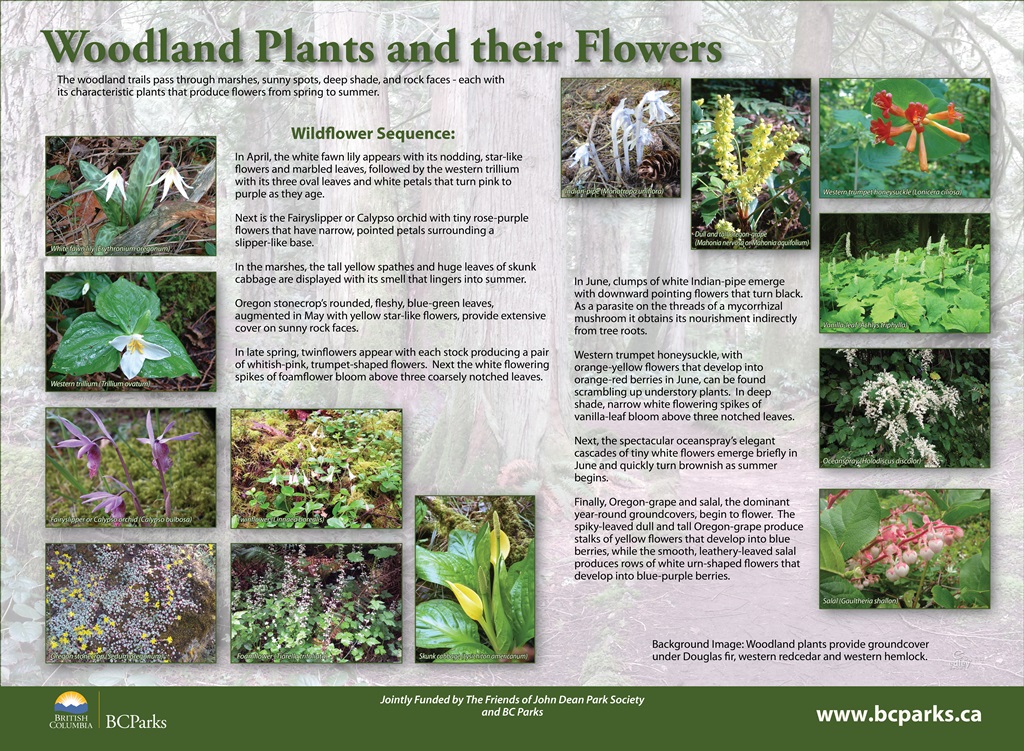
In the spring you will find stunning displays of wildflowers, including blue Camas lilies, ,Menzies Larkspur, sea blush and shooting stars appearing in the meadows as well as lots of woodland flowers such as fawn lilies, western trilliums, western trumpet, honelsuckle and many more.
In the fall when the rains begin, fungi begin appear. There have been over 300 species of fungi identified in the park.
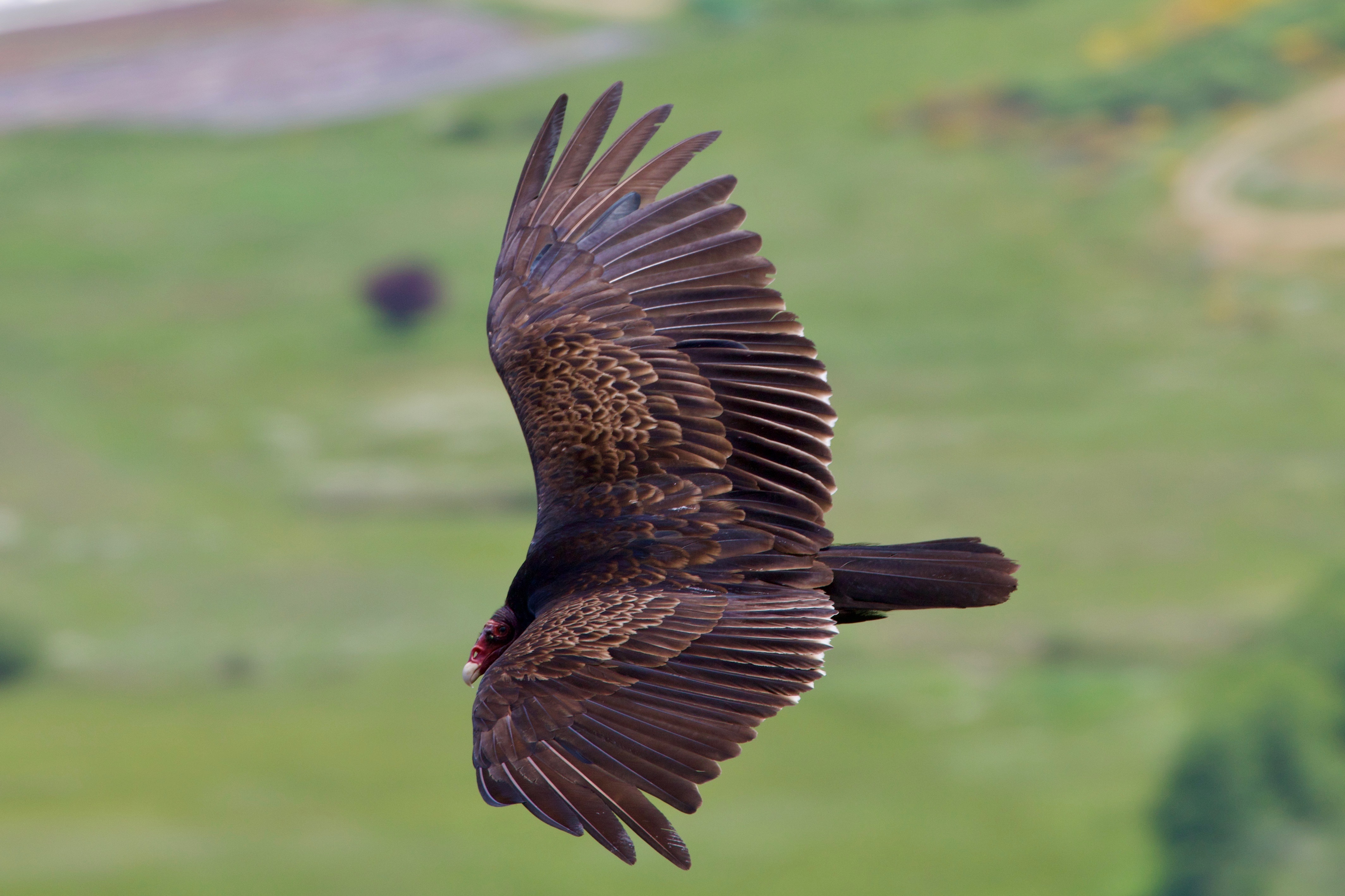
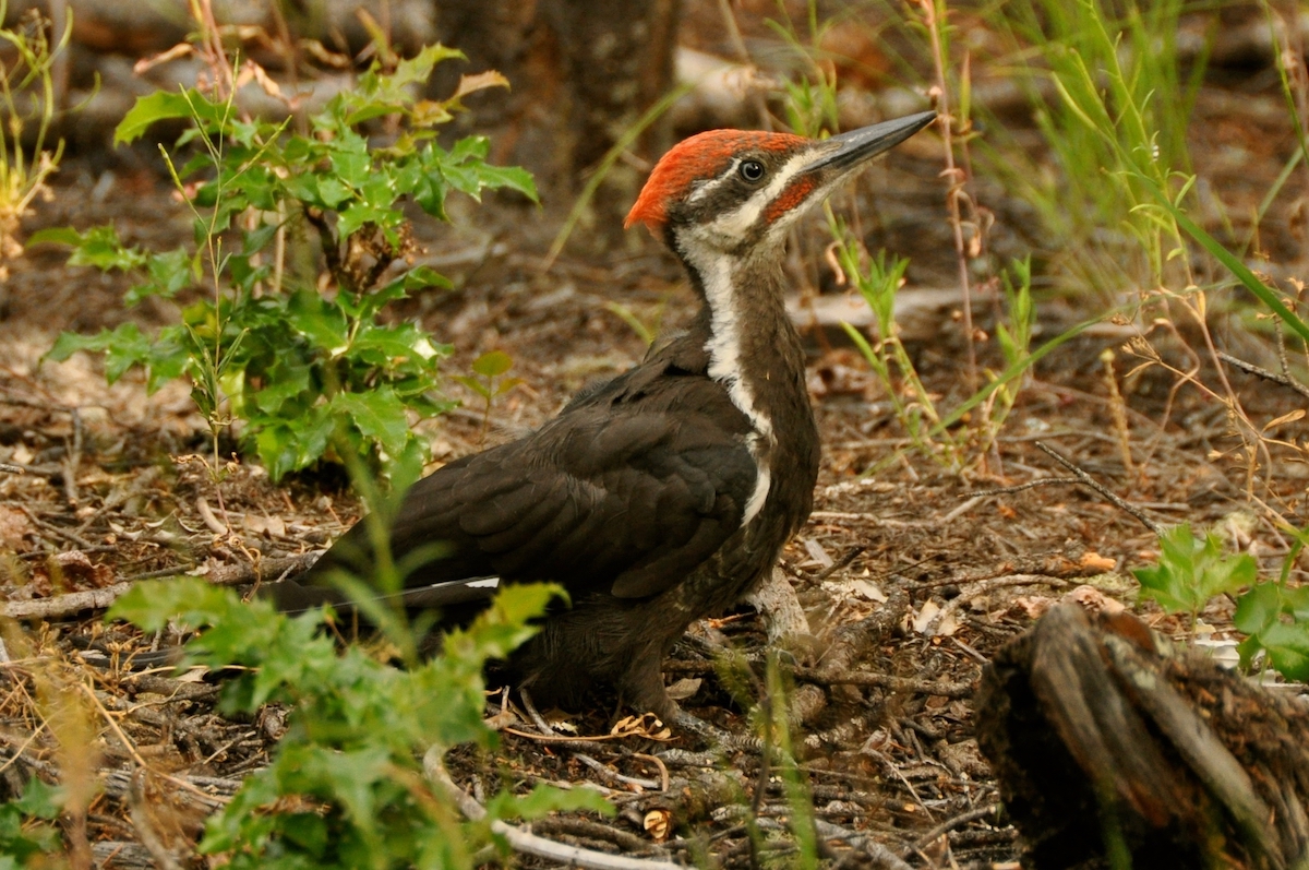
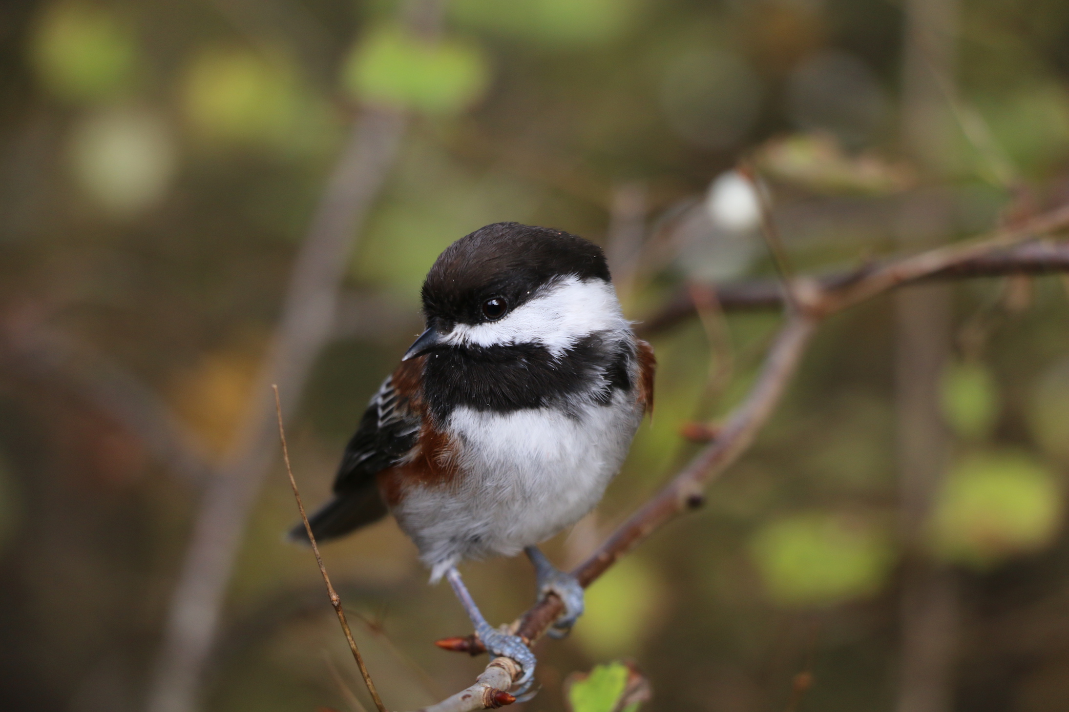
From the top of Mount Newton you can watch black turkey vultures demonstrate their amazing soaring techniques. You can also see ravens, bald eagles, red-tailed hawks soar these same skies, In the forests you are very likely to see the large pileated woodpeckers hammering away on a tree and there is a wide variety of smaller birds including robins Oregon Juncos, nut hatches, varied thrush, Stellars Jays, Towhees, Chestnut back chickadees and more.
Watch for interpretive signs located throughout the park to help you identify many of these birds and plants.
Facilities at the Park
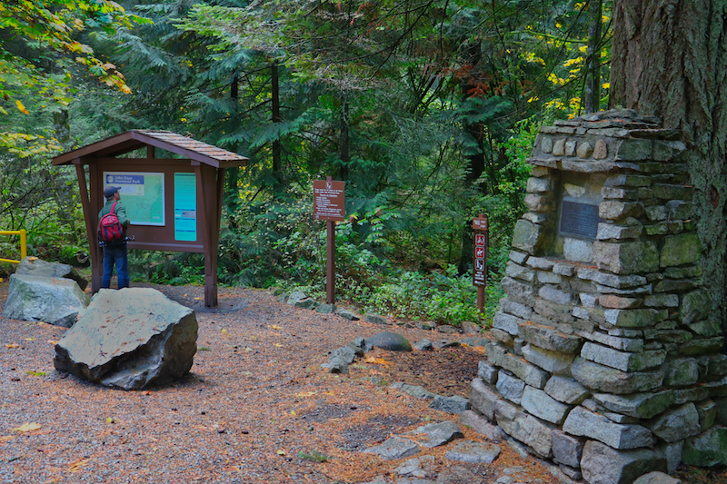
This park has a day-use area with a parking lot, information shelter and a pit toilet. The park is blocked off by a gate, which is locked from dusk until 8 a.m. This park is closed to vehicle traffic from November to March.
Pets on Leash
You are responsible for your pets behaviour and must dispose of their excrement. Backcountry areas are not suitable for dogs or other pets due to wildlife issues and the potential for problems with bears.
Photos
There are lots of great photos opportunities in John Dean Provincial Park, so make sure you take your camera and/or your phone! If you are looking for photos of the park, check out our sister website by clicking this link: John Dean Provincial Park Photos
Getting There
Driving Directions
Main Entrance & Parking Area:
From downtown Victoria, take Blanchard St/Pat Bay Highway and drive 19 km to Mt. Newton X Rd.
Turn Left on Mt. Newton X Rd and drive 1.4 km to East Saanich Rd
Turn Right on East Saanich Rd and drive 2.8 km to Dean Park Rd
Turn left on Dean Park Rd and drive 2.7 km to the parking area.
West Entrance via Merrill Harrop Trail:
You can also access the park via the Merrill Harrop trail which runs off Alec Rd.
From downtown Victoria, take Blanchard St/Pat Bay Highway and drive 19 km to Mt. Newton X Rd.
Turn Left on Mt. Newton X Rd and drive 5.1 kms to West Saanich Rd
Turn right on West Saanich Rd
Turn right in 350 m’s on Alec Rd just a short distance north. Follow Alec Rd to the trail sign, approximately 2 kms
South Entrance via Haldon Park & the Gail Wickens Trail:
From downtown Victoria, take Blanchard St/Pat Bay Highway and drive 19 km to Mt. Newton X Rd.
Turn Left on Mt. Newton X Rd and drive 1.4 km to East Saanich Rd
Drive 2.3 kms then turn left to Haldon Rd (Haldon Rd turns into Thompson Plc)
Drive 1.4 kms to Haldon Park on the right side of the road
- Park Map [PDF 116KB]
Leave A Comment