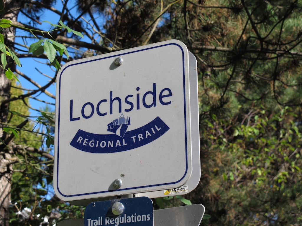
The Lochside Trail
The Lochside Trail is a scenic multi-use path that stretches all the way from Swartz Bay in North Saanich to the ‘Switch Bridge’ (the pedestrian overpass crossing highway #1 at Uptown) where it connects to the Galloping Goose Trail.
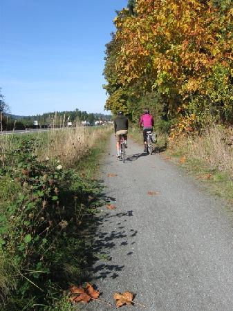
Biking a rural section of the Lochside Trail
The Lochside trail was formerly a rail line which began as the Victoria & Sidney Railway in 1894. The path runs through wetlands, farmlands, down country lanes and beside suburban backyards and highways. A good portion the Lochside Trail follows the original railroad right-of-way, including crossing a couple of low trestles, but in some places, trail visitors must share paved or gravel public roads with motor vehicles and farm vehicles.
You can cycle, stroll, run, and even ride a horse through the rural sections. The Lochside Trail provides a wonderful way to get out of the car and commute into town or makes for a easy gentle ride to just explore and enjoy some amazing parts of Victoria.
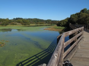
Riding on the bridge across a beautiful pond in the Benkinsop Valley
Features
The Lochside Trail intersects with the Galloping Goose Regional Trail, a 55 kilometre former railway line running from downtown Victoria past Sooke, and out to its terminus at the site of the former gold rush town of Leechtown in Kapoor Regional Park. The Lochside Trail is also the first section of the Trans-Canada Trail on Vancouver Island.
Trail Rating: Accessible (paved sections) to Easy
Length: 29km
Location: Saanich, Central Saanich, Sidney, North Saanich, Victoria
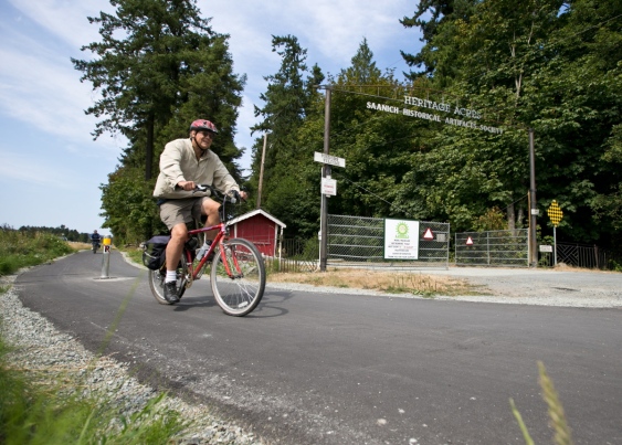
Lochside Trail – a great way to get to Heritage Acres
Parking
Click HERE for a map of the trail.


Leave A Comment