East Sooke Park
If you want to have a true ‘west coast’ experience – without going too far away from civilization, nothing beats East Sooke Park!
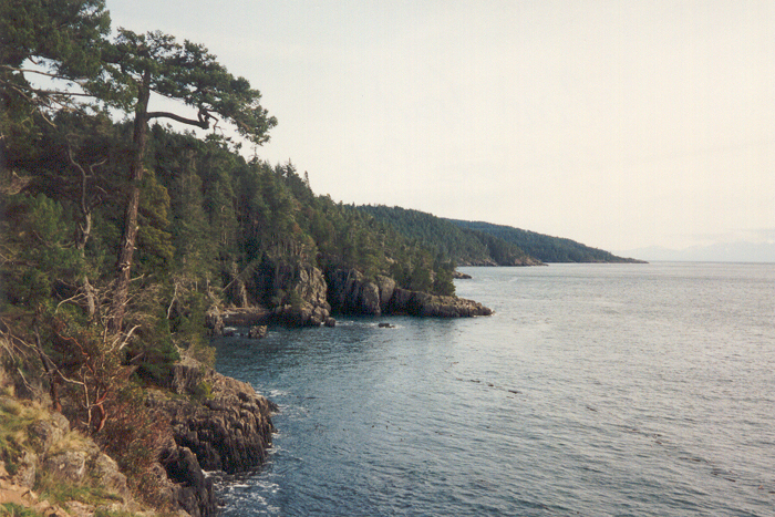
 East Sooke is the largest CRD Park, encompassing 1422 hectares ( 3512 acres) of natural and protected coastal landscape. In this Wilderness Recreation Park, you’ll experience solitude and harmony with nature in a par untouched by urban progress.
Over 50 kilometers ( 31 miles) of trails draw you into the timeless beauty of East Sooke.
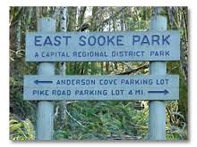
There are 3 different entrances into East Sooke Park:
1. Aylard Farm is popular with picnickers, and those looking for easy excursions. A 5-minute walk through open fields leads to a short steep dirt trail down to pocket beach (very small) where you can discover intertidal life, or watch river otters scurrying across the sand. Trails head inland to hilltop views, or along the rugged 10km Coast Trail. There are restrooms and a picnic area close to the very large parking lot here.
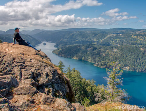
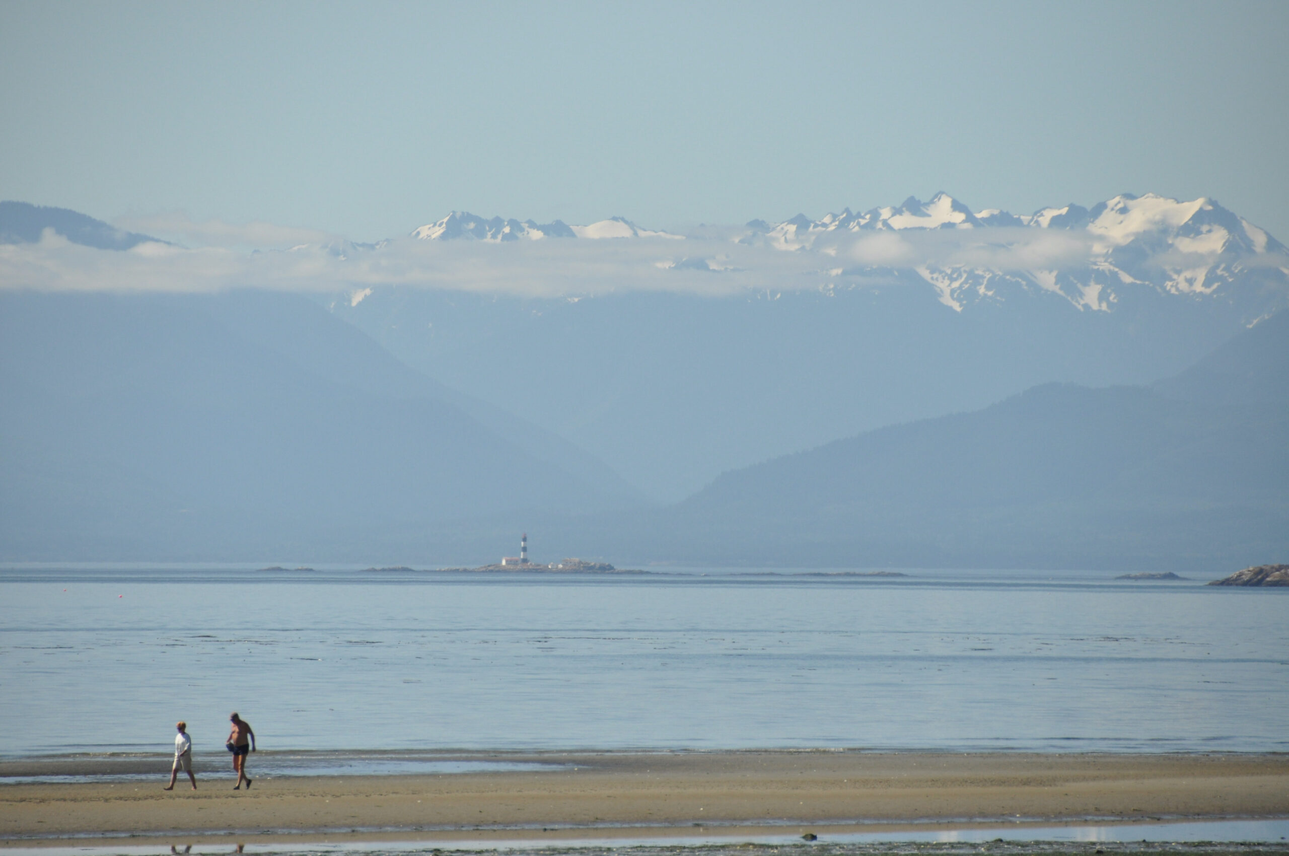
2. Anderson Cove, on the Sooke Basin, is the starting point for hikers heading to Babbington Hill, and Mount Maguire. On these hilltops, Bald Eagles, and Red-tailed Hawks join you for sweeping views of the Olympic Peninsula.
3. Pike Road is the most westerly access to the park, and to the Coast Trail. An old logging road winds through forest to meadow and beach at Iron Mine Bay. Here, at low tide, look for Periwinkles, Goose Neck Barnacles, and Purple Sea Stars. There are restrooms at the entrance near the parking lot.
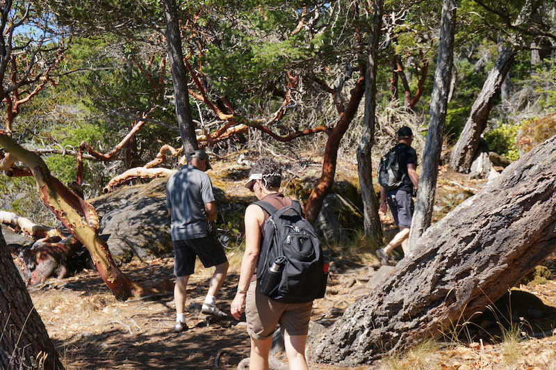
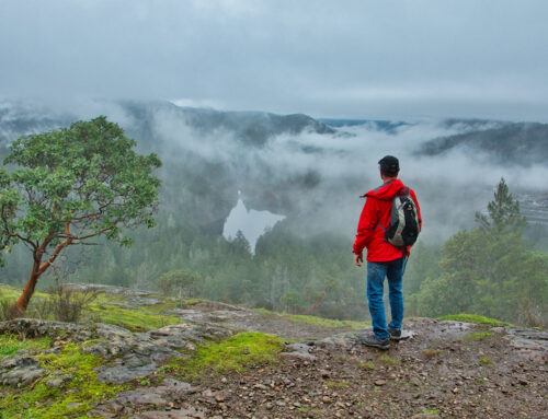
Hiking at East Sooke Park
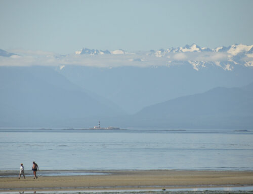
The trail itself is stunning with expansive views of the Strait of Juan de Fuca and the Olympic Peninsula in the background. The trail is a 10km moderate to difficult with spots that require scrambling over rocks. Wear sturdy shoes and bring plenty of water and some food (or munchies) if you decide to hike it … it gets very hot in the summer. Give yourself approximately 7 hours to walk the entire 10km (one way). It sounds like a long time but BELIEVE ME it can take that long.
HOT TIP#1:
If you want to hike the whole trail (10km), leaving a car at each end of the trail (Aylard Farm & Pike Rd.) helps when you reach the end … you can drive back and pick up the other car (if there’s at least 2 of you that is!) I have seen people hike both ways, and it can be done if you’re VERY fit and don’t stop to sightsee or eat etc. I would not recommend it unless you’re sure you know what you’re getting into!
HOT TIP#2:
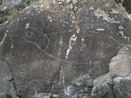
Petroglyph at East Sooke Park
If you don’t want to hike the entire trail, the section from Aylard Farm to Beechey Head is quite nice and there is a spot along the way where you can see some cool petroglyphs. You have to watch for the signs and step off the main path a bit as they’re facing the water.
HOT TIP#3:
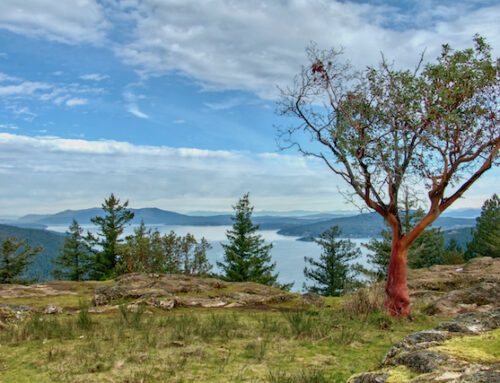
Another short(er) hike is up to Babbington Hill where you can see for miles out into the Strait of Juan de Fuca. If you time it right in the fall … you’ll be blown away by hundreds of Turkey Vultures kettling (circling) getting ready for their southward migration. They aren’t the greatest of fliers, so they kettle until the wind/conditions are right for them to make the flight across the Strait. There’s no set time/day (obviously) but it’s worth a hike up to the top anyway just in case. It’s not too far up, but it is a steep path up.
Click HERE for a map of the park.
Here are directions to East Sooke Park. Allow approximately 45 minutes – 1 hour driving time from Victoria.
[/fusion_builder_column][/fusion_builder_row][/fusion_builder_container]
[…] you follow East Sooke Rd you will pass signage for East Sooke Regional Park at the end of Belcher Rd. This parks offers some amazing hikes along the coast and incredible […]