Avatar Grove and “Canada’s Gnarliest Tree”
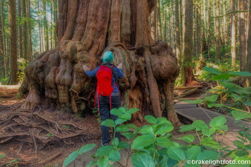
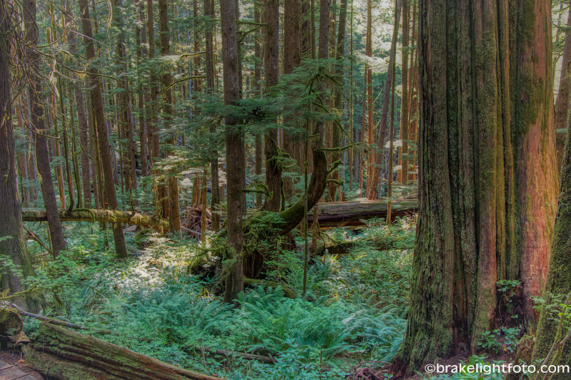
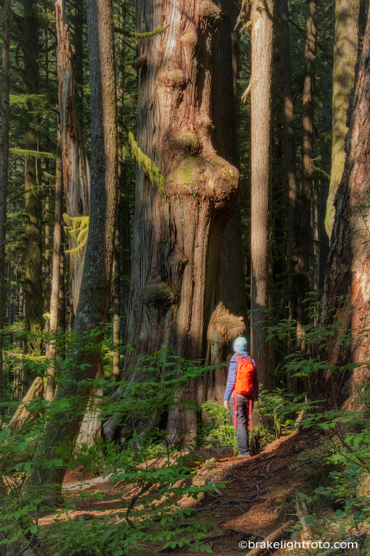
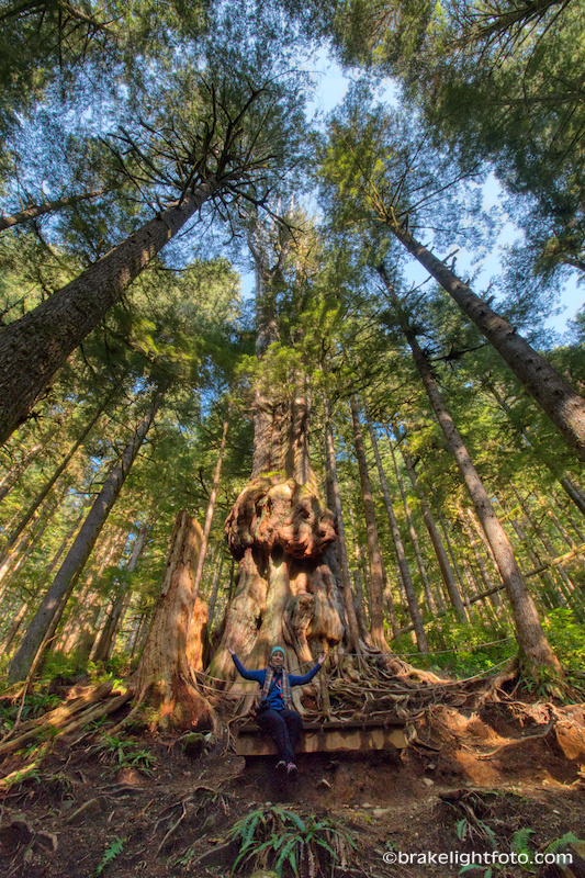
Avatar Grove is one of the highlights of a visit to the Port Renfrew area and well worth a visit whether you decide to make the 2 hour drive just to see the grove or if you take it in as part of your visit to this spectacular part of Vancouver Island. Whatever the case, you are going to see some of the most spectacular forest left in the world, some of these trees have trunks 14-15 ft wide and can be 1,000 years old!
Avatar Grove was first identified by the Ancient Forest Alliance in December of 2009. This spectacular section of old growth rain forest is within the traditional territory of the Pacheedaht First Nation and has recently been declared off limits to logging. Avatar Grove is also home to “Canada’s Gnarliest Tree”. This mammoth cedar will be certain to impress!
The Hikes
There are two relatively short hikes here, the Upper Avatar Grove, which will lead you to “Canada’s Gnarliest Tree”, and the Lower Avatar Grove. Both trails are largely board walks with steps up and down the steepest portions making the walk relatively easy. But there are sections where you will be crossing slippery tree roots and mud so take some care and be prepared by wearing proper foot wear.
The Upper Grove is a 500m (0.3 mile) round trip with an approximate 80m (260 ft) elevation gain.
The Lower Grove is a 650m (0.4 mile) loop with an approximate 25m (82) elevation gain.
Getting to Avatar Grove
Port Renfrew is a 109 km (68 miles) drive from Victoria on the West Coast Road and takes roughly 2 hours. This spectacular winding drive follows the coast all the way to Port Renfrew and has some spectacular views along the way and many things to see and do. Check out our post on the ‘Pacific Marine Circle Drive’ for more information on this beautiful drive. For more information on Port Renfrew, click this link.
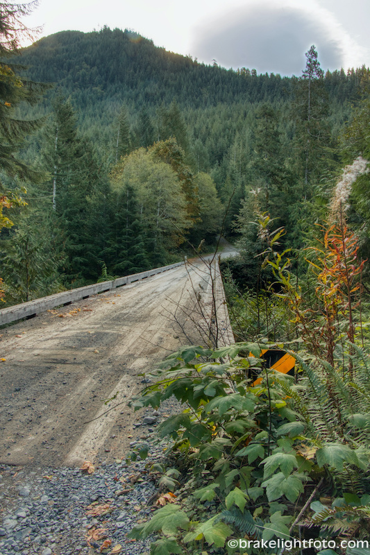
Avatar Grove is about 10 km (6 miles) from Port Renfrew. The last few kilometres are unpaved and quite bumpy but it can be accessed by 2wd vehicles. For a complete set of driving directions refer to the Ancient Forest Alliance Map and Driving Directions at this link. Another great resource for trips like this is the Vancouver Island Map Book, available online or you can find it in many stores around the island.
Tip: Remember, when you’re driving these backroads, make sure to check your fuel and make sure you have a good spare tire with you. Take food and water with you as well. We had to give someone a lift out during our visit to Avatar Grove because they didn’t have a spare.
Thank you for posting this!